Snippets
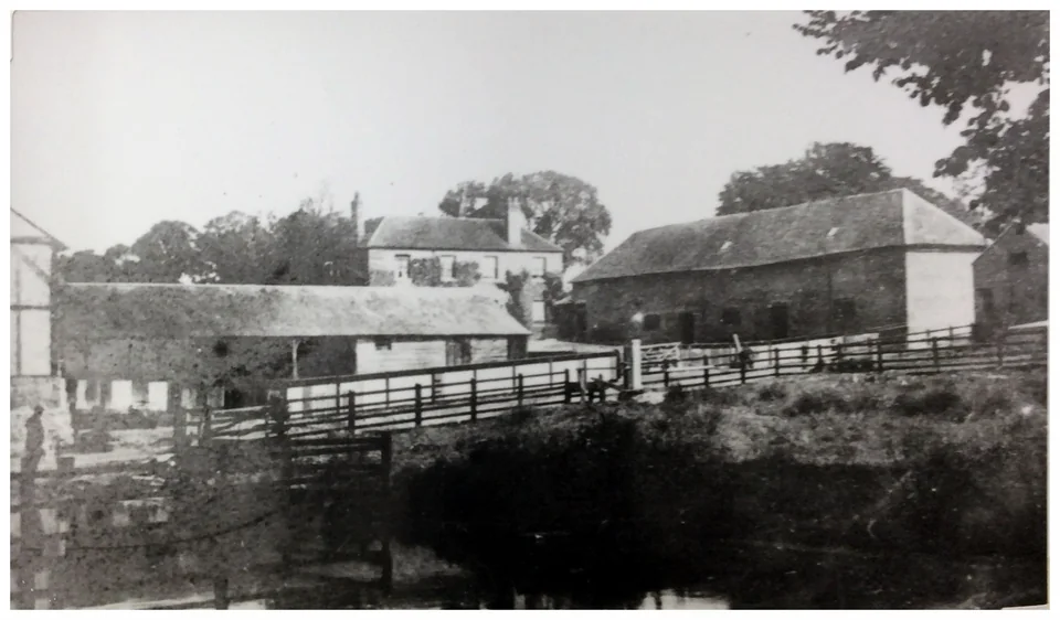
Fire at Cippenham Court Farm in 1919
This article from The Evening Telegraph, Thursday, June 5, 1919 DISASTROUS FIRE NEAR MOTOR TRANSPORT DEPOT Cippenham Court Farm, which adjoins the Government motor transport depot at…
People, places and stories from our village’s past.
35 stories
This article from The Evening Telegraph, Thursday, June 5, 1919 DISASTROUS FIRE NEAR MOTOR TRANSPORT DEPOT Cippenham Court Farm, which adjoins the Government motor transport depot at…

Norman’s Garage was a petrol forecourt and car showroom that sold Talbot and Chrysler cars. It was on the west corner of Stowe and Bath Road. This photograph was probably taken around…
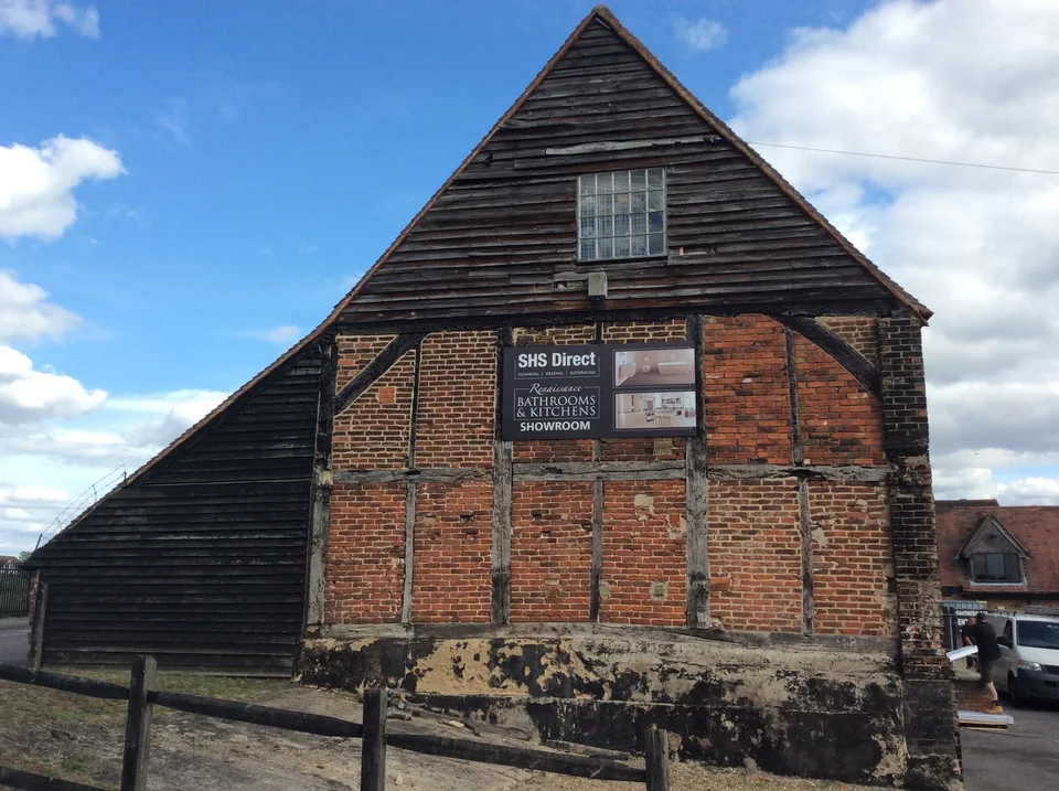
The Great Barn is one of a group of buildings that were once the nucleus of Cippenham Court farm. Positioned on the south side of Cippenham Lane opposite Westgate school playing field, the…
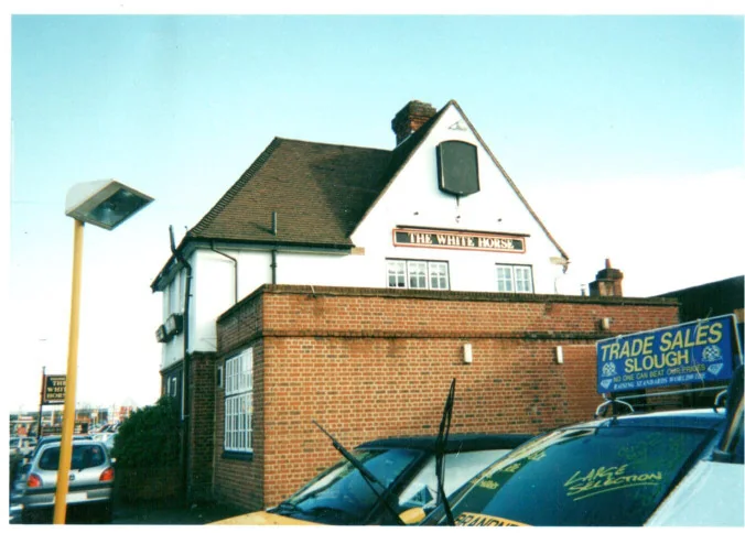
Here are some pictures of the White Horse taken some time between 1996 and 2000. The White Horse is believed to have been a coaching inn. It stood on the Bath Road next to Brook Path and…
The National Library of Scotland has created a superb online resource for making comparisons between historic Ordnance Survey maps and Esri satellite images. The image below has been…
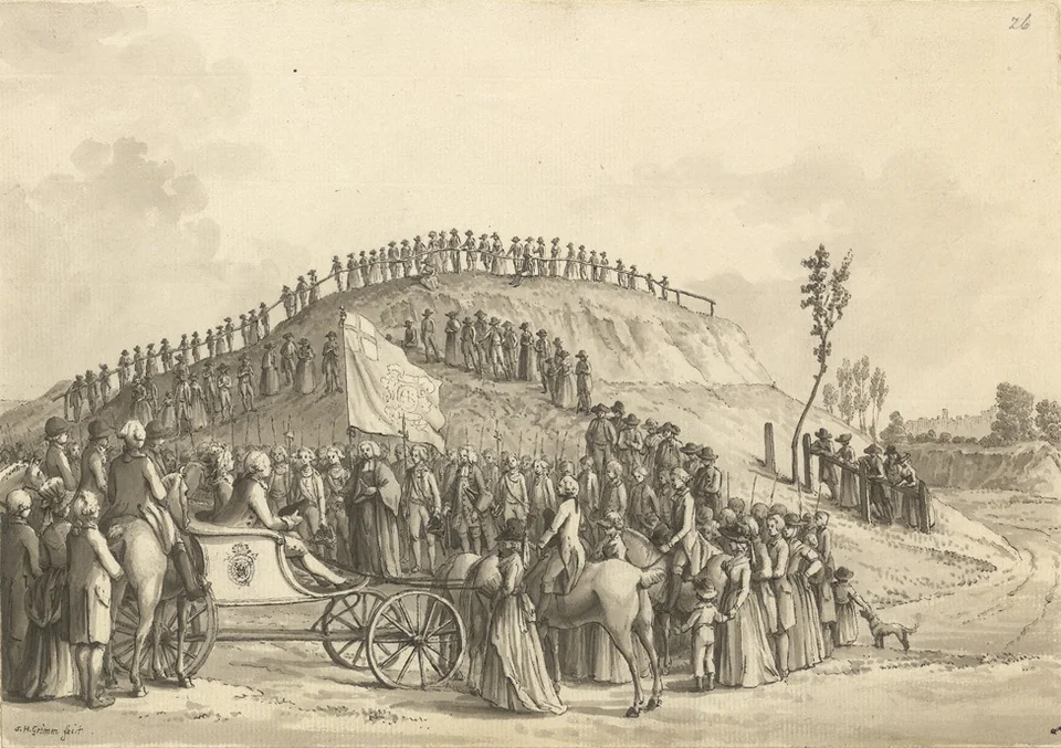
In December 2016, a team from the Department of Archaeology, University of Reading, drilled into the Montem Mound (the Salt Hill) and removed samples of soil in order to determine its age.…
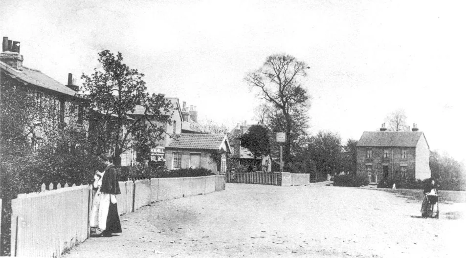
This is probably the earliest photograph of Cippenham, taken at the village centre. The image was supplied by Slough Museum and their record states that it was from 1907. The view is along…
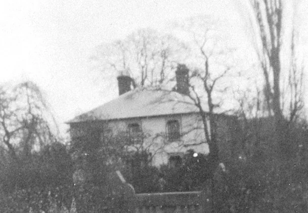
This is a detail from a photograph in Slough Museum’s collection. It shows Western House, a large farmhouse on the east side of Brook path which was homestead to the farmer Josiah Gregory…
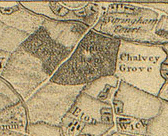
John Rocque’s ‘A topographical map of the county of Berkshire’ was first published in 1761. It could well be the earliest map in existence that shows Cippenham, which Rocque spelt…
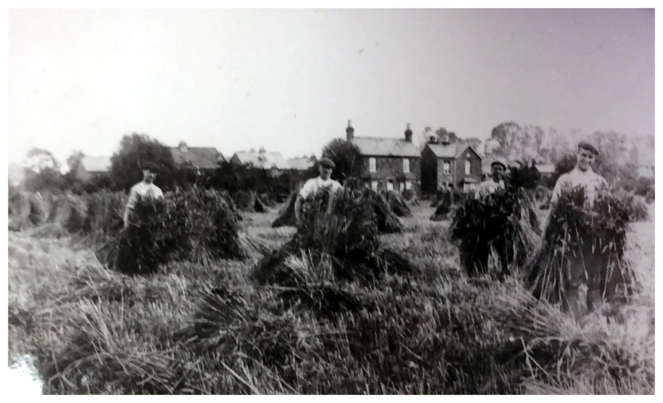
Cippenham Villagers shocking up corn 1909/10. Centre for Buckinghamshire Studies D11/12/14 This image shows Cippenham villagers indulging in the long-forgotten practice of “shocking up”.…
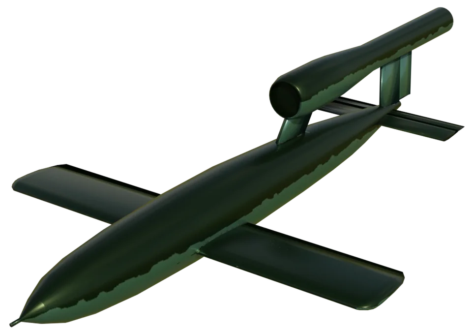
More that one reader has suggested that given the date it is almost certain that the Cippenham V1 must have been launched from an aeroplane in the Thames estuary aimed at London and that…
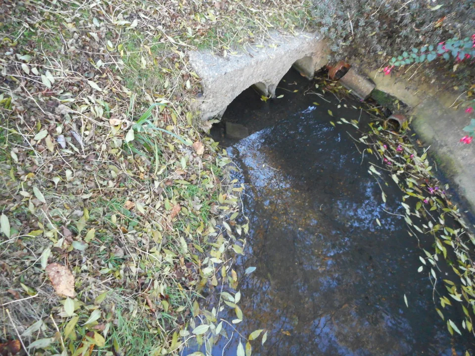
Two-mile brook is an ancient mill stream that flows from Haymill (once the site of a mill called Ay Mill) through the heart of Cippenham. It possesses more early historical references than…